Ship
Watching
In this section you will learn how to identify vessels, and how to determine the exact minute they will pass by your chosen point of observation so you can have the ultimate boat watching experience in Brockville.
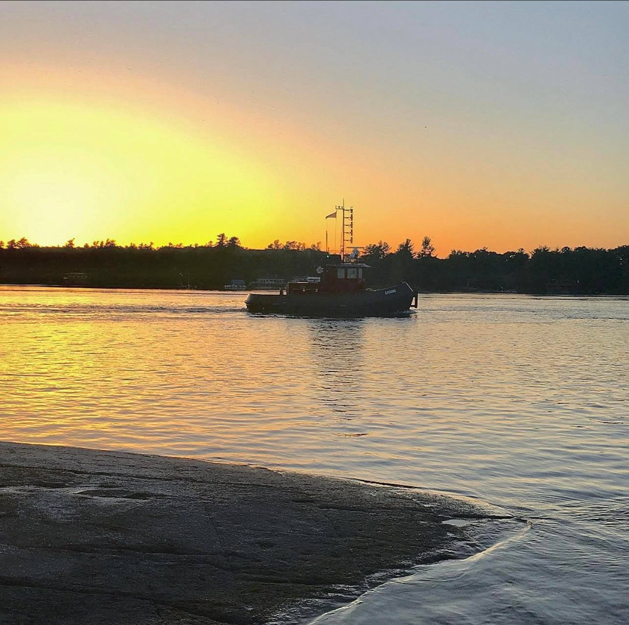
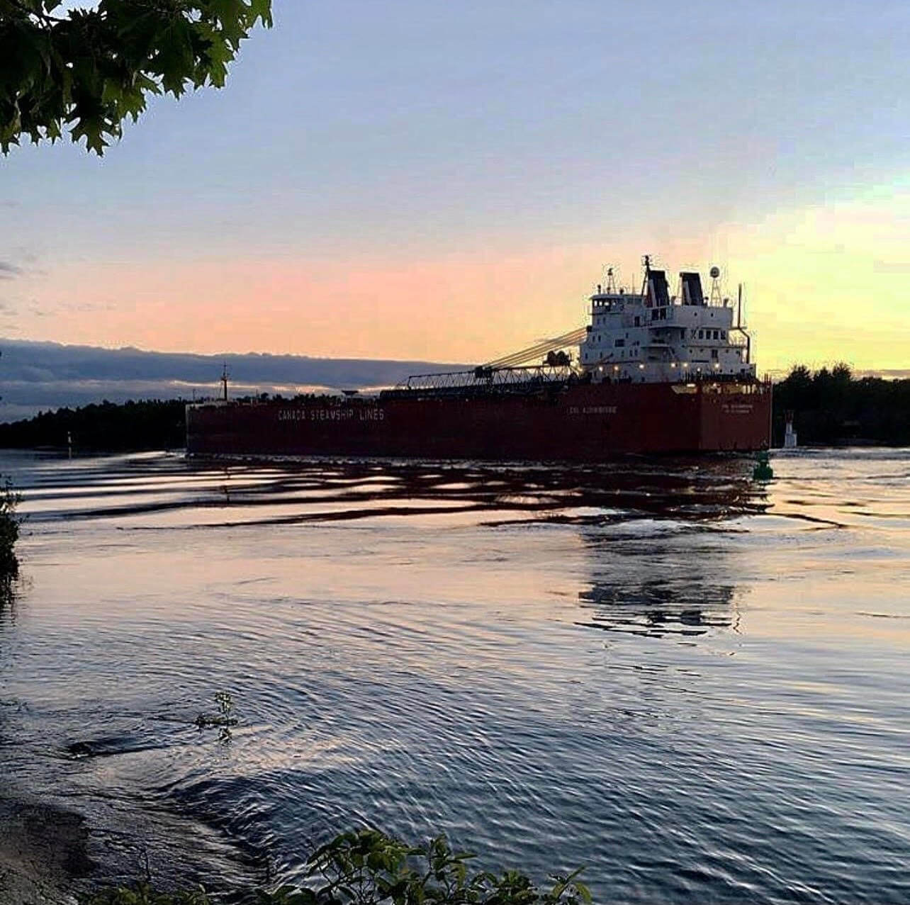
There’s no shortage of leisurely activities to enjoy on a sunny day in Brockville, but is there anything more relaxing than watching ships mosey along the St. Lawrence River?
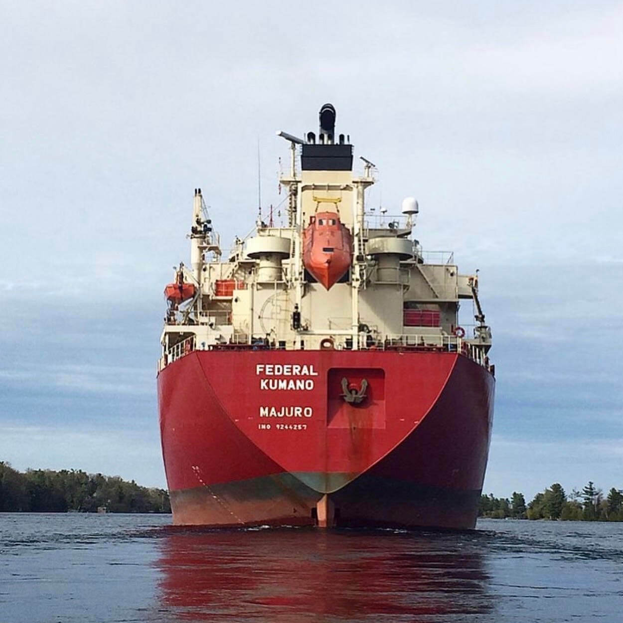
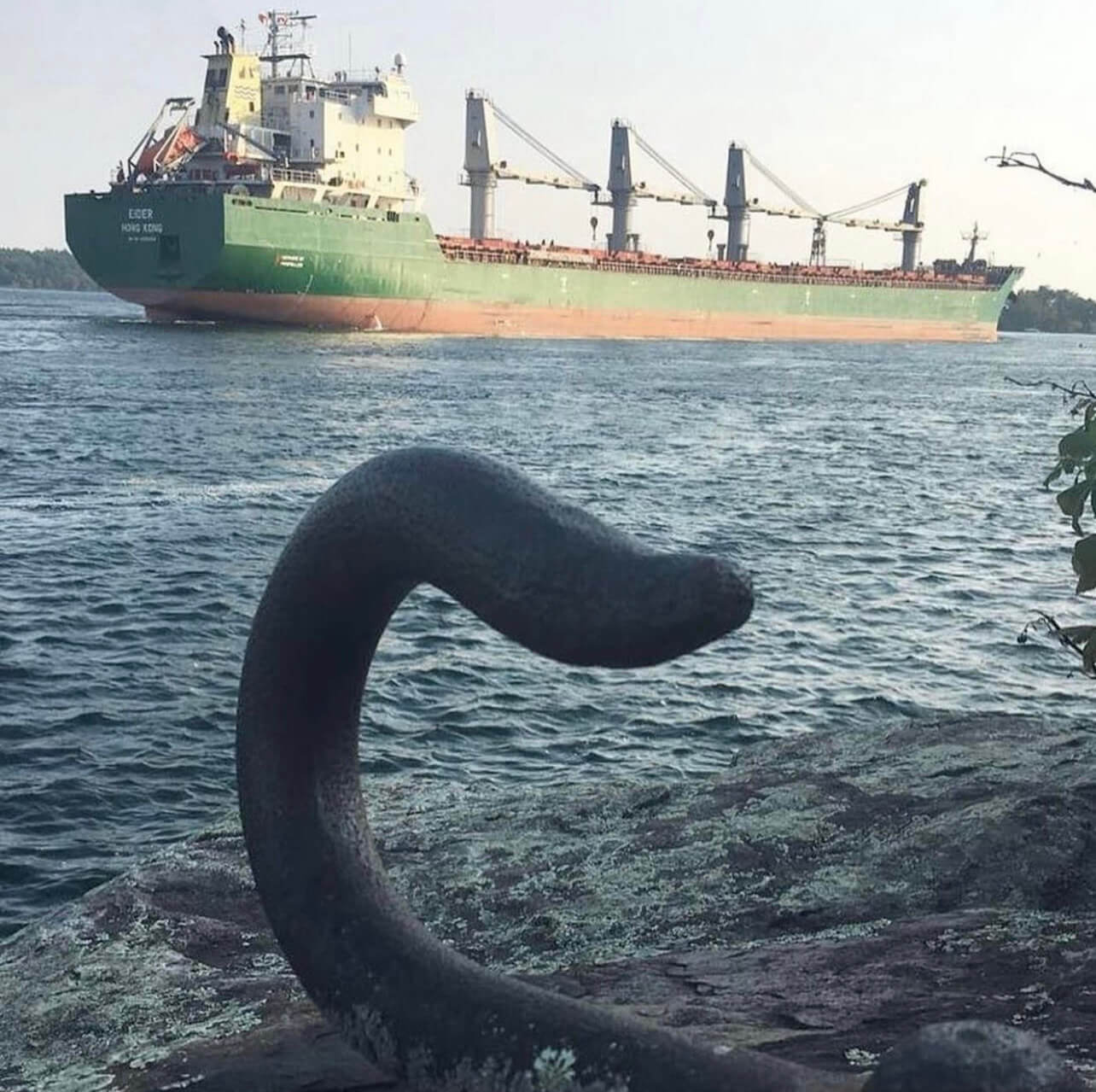
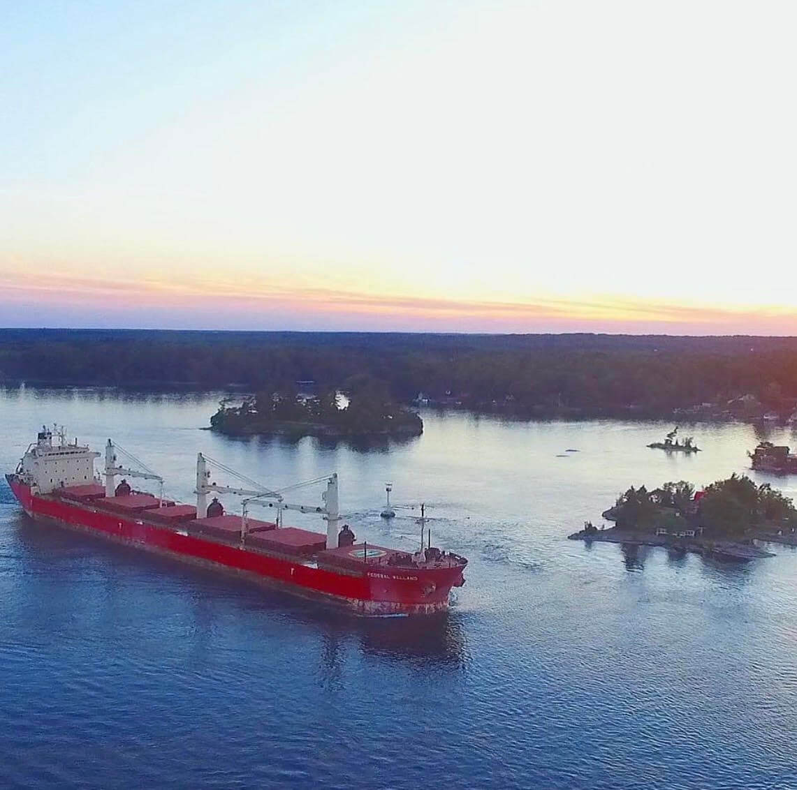
Every day, spectators gather along the waterfront to watch cargo ships the size of football fields travel up and down the St. Lawrence as they inch closer to their destination.
Let’s pick a location!
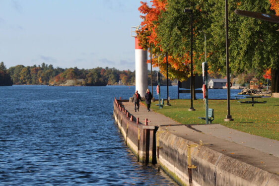
Blockhouse Island
Blockhouse Island is a popular choice as it lends plenty of different viewpoints of the river that are ideal for boat watching. You can also use the binoculars at the East facing corner of the island to get a closer look at the ships if you don’t have a pair of your own. All the parking spots on Blockhouse Island are river facing, grab a coffee or snack and enjoy the views.
Hardy Park
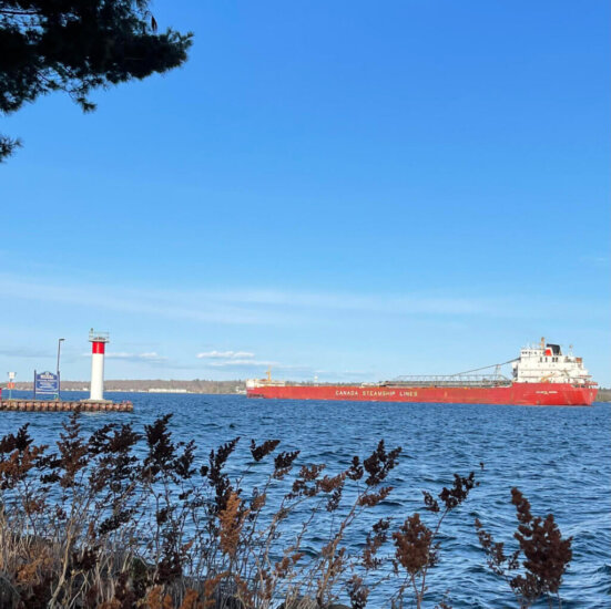
Hardy Park is another opportune spot for your own boat watching observatory. Bring a blanket or something to sit on to make yourself comfortable to enjoy a relaxing afternoon of boat watching along the waterfront.
Centeen Park
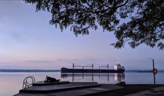
Centeen Park, Brockville’s most Eastern Park, is a popular swim and diving location with fantastic views for ship watching. Bring lunch and enjoy the view.
Marine Traffic Map
So, you’ve decided where you’re going to watch the boats, now you need to find out the best time to go.
But wait, how are you supposed to know what kind of ship it is, or where it’s coming from?
Luckily, you can see all of the commercial marine traffic moving East and West bound along the River online on the Marine Traffic map on the Great Lakes St Lawrence Seaway System website.
The Marine Traffic map displays the location of tankers, ferries, and cargo ships in real time, as well as which direction they are heading. This map is a helpful tool for spectators to plan the timing of their trip accordingly, rather than waiting all day to see a cargo ship, only to find out it had already passed earlier that day!
The Marine Traffic Map on the Great Lakes St Lawrence Seaway System website is a great place to start. The map displays the vessels passing through in different colours, which identify the style of vessel. Cargo ships are highlighted in green, tankers are identified as red, tugboats and coastguard vessels are light blue, ferries are dark blue, and sailboats are purple.
On the website you can also see each vessel’s most recent stop, and the estimated arrival time for its next stop. These “stops” are recorded when a vessel goes through a lock. It’s astonishing to think that ships up to twice the size of a football field in length, carrying cargoes the equivalent of 25,000 metric tons, pass through these lock systems every single day and eventually make their way past Brockville!
Although it requires a bit of practice, it is possible to identify vessels without using the Great Lakes St Lawrence Seaway System website. However, you will almost certainly require your own pair of binoculars to do this with success.
